Mont Ventoux: three sides, one mountain
From Bédoin or Malaucène, Mont Ventoux climbs about 1,550 to 1,600 metres in some 21 kilometres, at 7.5% on average. From Sault the road is gentler until it meets the Bédoin road at Chalet Reynard. Most riders take between an hour and a half and two and a half hours.
By Niels Meereboer, who makes VeloWatt Pro
The three sides at a glance
Three roads lead to the top. Two are steep for most of their 21 kilometres; one saves its steep part for the end.
| Climb | Length | Climbing | Average |
|---|---|---|---|
| Bédoin – summit | 21.0 km | 1,578 m | 7.5% |
| Malaucène – summit | 20.8 km | 1,549 m | 7.5% |
| Sault – Chalet Reynard | 18.2 km | 724 m | 4.0% |
| Saint-Estève – Chalet Reynard (the forest) | 9.5 km | 877 m | 9.3% |
| Chalet Reynard – summit | 6.1 km | 473 m | 7.7% |
From Bédoin: the classic
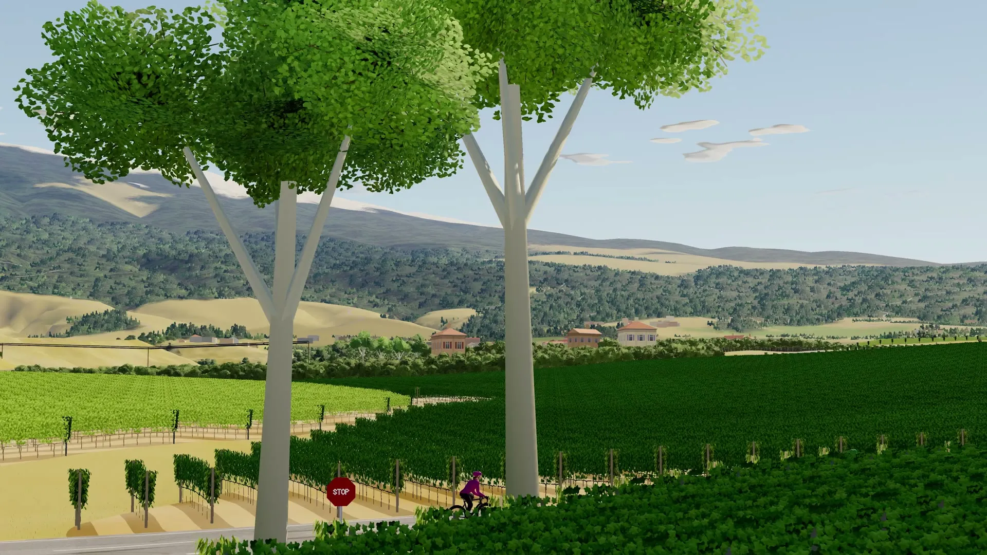
The first kilometres out of Bédoin rise gently between vineyards and lull you. At Saint-Estève the road turns into the forest, and for the next 9.5 km it climbs at more than 9% on average, with no let-up. The trees at least keep the wind off you. This is where the climb is won or lost.
At Chalet Reynard the trees end. The last six kilometres cross bare white stone at a little under 8%, with the summit in sight long before you reach it, and nothing to shelter you if the wind is up.
From Malaucène
The road from Malaucène, on the mountain’s north-west side, is just as long and climbs just as much, at the same average. It is quieter than Bédoin, and its own riders will tell you it is no easier.
From Sault: the gentle way
From Sault the road climbs more than 18 km to Chalet Reynard at about 4%, past lavender fields and through the woods. It is a climb to ride in rhythm. At Chalet Reynard it joins the Bédoin road for the same last six kilometres over the stones, so the top is no easier than from Bédoin.
How to pace a climb of over an hour
- Ride it below your FTP. For a climb of an hour and a half, around 80 to 90% of your FTP, the top half of zone 3, is what most riders can hold to the top.
- Take the forest steadily. The steepest kilometres come early from Bédoin. Riders who go into them too hard pay for it on the stones.
- Keep your cadence up with the lowest gears you have. It saves your legs for the second hour.
- Drink and eat. Indoors you sweat more than outside. For a ride over ninety minutes, take a bottle an hour and something to eat.
Training for it indoors
The Ventoux asks for one thing above all: holding steady power for a long time. Build it with long intervals just under your FTP, such as 2 × 20 or 3 × 15 minutes, and with tempo rides of an hour or more. Then ride the mountain itself before you go.
In VeloWatt Pro the Mont Ventoux world has the climbs from Bédoin, Malaucène and Sault, each ridden from below its foot to past its top. On Road your trainer gets heavier as the road steepens, and your times on each climb and on stretches such as the forest from Saint-Estève are kept, so you can see the next attempt get quicker.
Questions
How long does it take to ride up Mont Ventoux?
From Bédoin, a very strong amateur takes a little over an hour; most riders need between an hour and a half and two and a half hours. Your FTP and your weight decide it more than anything.
Which side of Mont Ventoux is easiest?
Sault, by a long way, until Chalet Reynard. From there it shares the last six kilometres of the Bédoin road, so the top is no easier.
Can I ride the Ventoux with a workout?
Yes. Choose a workout and ride it on the climb; in ERG your trainer holds the workout’s watts and the mountain goes by underneath.